- Getting Started With Open-Source Maritime Data
- Using AIS and Commercial Transponder Networks
- Monitoring Official US Navy and Department of Defense Releases
- Leveraging Satellite Imagery and Commercial Space Providers
- Connecting Logistics and Naval Positioning
- Verifying Sources and Avoiding Misinformation
Getting Started With Open-Source Maritime Data
British observers watching the Gulf region often need reliable data. You want to track US naval movements without relying on vague social media rumors. Open-source intelligence makes this entirely possible from your desk in London. Governments and private analysts use the exact same public tools every single day.
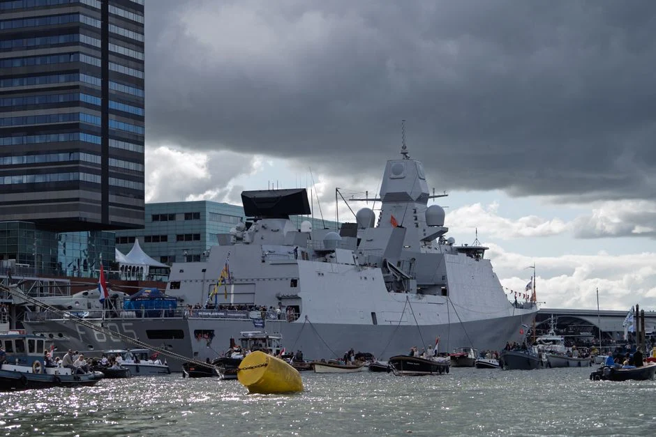
Most large vessels carry transponders. These devices broadcast identity, speed, and exact GPS coordinates. Warships operate differently than commercial cargo liners. They frequently turn off transponders during sensitive missions. You need to know where to look when public tracking goes dark.
Start with basic maritime tracking portals. Sites like MarineTraffic and VesselFinder capture global signals. You won’t find every aircraft carrier on a standard map. Support ships, oilers, and amphibious transport docks stay visible much more often. These logistics vessels give away the broader carrier strike group’s general location.
Using AIS and Commercial Transponder Networks
Automatic Identification System data forms the backbone of civilian ship tracking. Commercial vessels must use it by international law. US Navy auxiliary ships often keep their AIS active while operating near congested chokepoints like the Strait of Hormuz or the Bab-el-Mandeb.
Filters help you sift through thousands of commercial container ships. Search for United States flagships or specific Military Sealift Command prefixes. Ships bearing designations like USNS often steam alongside combatants. Spotting a fleet replenishment oiler usually means a destroyer or cruiser stays within a few dozen miles.
Signal gaps happen intentionally. Transponders vanish when ships enter high-threat zones. Analysts call this going dark. When a cluster of supply ships disappears off the coast of Oman, military watchers take note. It signals an operational shift before any official press release drops.
Monitoring Official US Navy and Department of Defense Releases
Public trackers only show part of the picture. Official announcements fill in the blanks. The Pentagon and U.S. Central Command publish regular media updates. These releases detail carrier strike group arrivals, exercises, and port visits in Bahrain or UAE facilities.
Check the U.S. Naval Institute News portal daily. USNI maintains an active fleet tracker that logs where major strike groups deploy. Their data comes from official command announcements and confirmed imagery. It cuts through unverified claims circulating on X and Telegram.
Official statements also clarify transit routes through the Suez Canal. When a carrier group moves from the Mediterranean into the Red Sea, the Egyptian Suez Canal Authority often confirms the toll or transit window. Combining these official milestones with live positioning builds a clear operational timeline.
Leveraging Satellite Imagery and Commercial Space Providers
Space-based assets offer another layer of verification. Private satellite companies capture high-resolution photos of major naval bases. Facilities in Souda Bay, Duqm, and Bahrain host US assets regularly.
You don’t need a multi-million-dollar defense contract to view orbit imagery. Platforms like Sentinel Hub and Google Earth provide frequent updates. Independent OSINT researchers frequently spot carrier strike groups pierside or anchored offshore.
Cloud cover and satellite orbit schedules create blind spots. A picture taken over a naval pier tells you where a ship sat yesterday, not right now. Treat imagery as a historical check rather than a live radar screen.
Connecting Logistics and Naval Positioning
Naval fleets require massive supply chains to stay on station. Understanding how shore facilities support these operations helps you anticipate fleet shifts. For a deeper look at how military supply lines function during regional tensions, review our guide on US Iran war logistics planning.
Fuel tankers, dry cargo ships, and ammunition haulers move on predictable schedules between Diego Garcia and Gulf ports. Tracking these transport vessels reveals operational tempo changes well in advance of combat patrols.
Verifying Sources and Avoiding Misinformation
Social media overflows with recycled footage during regional crises. A video from a 2018 exercise gets reposted as breaking news today. Always cross-reference visual claims with two independent, reliable sources before drawing conclusions.
Check timestamps carefully. A satellite photo shared on Tuesday might actually be three months old. Stick to primary databases and official defense logs to keep your analysis accurate.
For more information, visit our website.
Related reading
- How to Research US Federal Lobbying Disclosures From the UK
- How to Track US Federal Agency Rulemaking Online